18 km | 28 km-effort
vallée Borgne
nadinebondoux
Utilisateur GUIDE
Longueur
25 km
Altitude max
1024 m
Dénivelé positif
828 m
Km-Effort
36 km
Altitude min
392 m
Dénivelé négatif
826 m
Boucle
Oui
Date de création :
2019-06-09 08:15:58.524
Dernière modification :
2019-06-09 15:07:28.719
6h15
Difficulté : Difficile
Application GPS de randonnée GRATUITE
À propos
Randonnée Marche de 25 km à découvrir à Occitanie, Gard, Les Plantiers. Cette randonnée est proposée par nadinebondoux.
Description
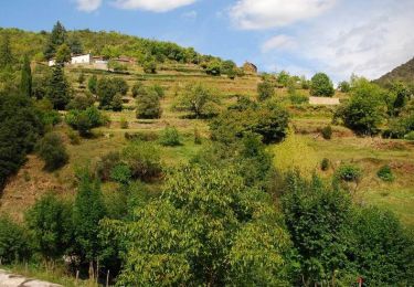
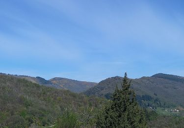
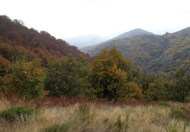
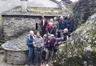
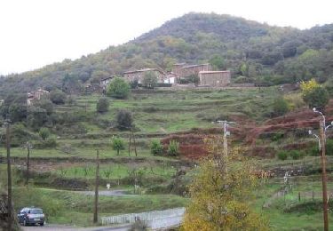
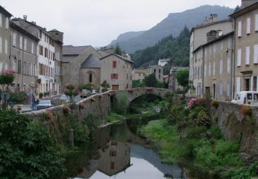
depart les Plantiers, Fontfouillousse, col Espinas, Bonperrier , la Becede
Localisation
Pays :
France
Région :
Occitanie
Département/Province :
Gard
Commune :
Les Plantiers
Localité :
Unknown
Départ:(Dec)
Départ:(UTM)
558483 ; 4885763 (31T) N.
Commentaires
Randonnées à proximité
Sentier du col Salidès - Saint André de Valborgne
Marche
Très difficile
(2)
Saint-André-de-Valborgne,
Occitanie,
Gard,
France
6h 0min
Oui
Sentier de Saint Marcel de Fontfouillouse - Les Plantiers
Marche
Très difficile
(1)
Les Plantiers,
Occitanie,
Gard,
France
13,6 km | 21 km-effort
4h 0min
Oui
Col du Salidès
Marche
Difficile
Saint-André-de-Valborgne,
Occitanie,
Gard,
France
18,9 km | 28 km-effort
5h 32min
Oui
Vallée Borgne
Marche
Difficile
Les Plantiers,
Occitanie,
Gard,
France
19,7 km | 32 km-effort
5h 19min
Oui
Exil / pont des chèvres
Marche
Difficile
Saumane,
Occitanie,
Gard,
France
17,3 km | 27 km-effort
5h 53min
Oui
vallée Borgne
Marche
Difficile
Saint-André-de-Valborgne,
Occitanie,
Gard,
France
18,7 km | 30 km-effort
5h 44min
Oui
vallée Borgne
Marche
Difficile
Saint-André-de-Valborgne,
Occitanie,
Gard,
France
18,7 km | 30 km-effort
5h 44min
Oui
Les Plantiers et st Marcel de Fontfouillouse
Marche
Difficile
(1)
Les Plantiers,
Occitanie,
Gard,
France
13,6 km | 21 km-effort
4h 33min
Oui
Sentier du Mouflon - Les Plantiers
Marche
Difficile
Les Plantiers,
Occitanie,
Gard,
France
11,2 km | 18,6 km-effort
3h 30min
Oui